
Our project addressed The Hidden Face of Venus
We’re trying to create a Digital Elevation Map (DEM) for the planet of Venus. An elevation map is just like a regular map, except that for every latitude and longitude, we will know the height of the land. Roughly speaking, mountains will be high, valleys will be low, plains will generally be in the middle.
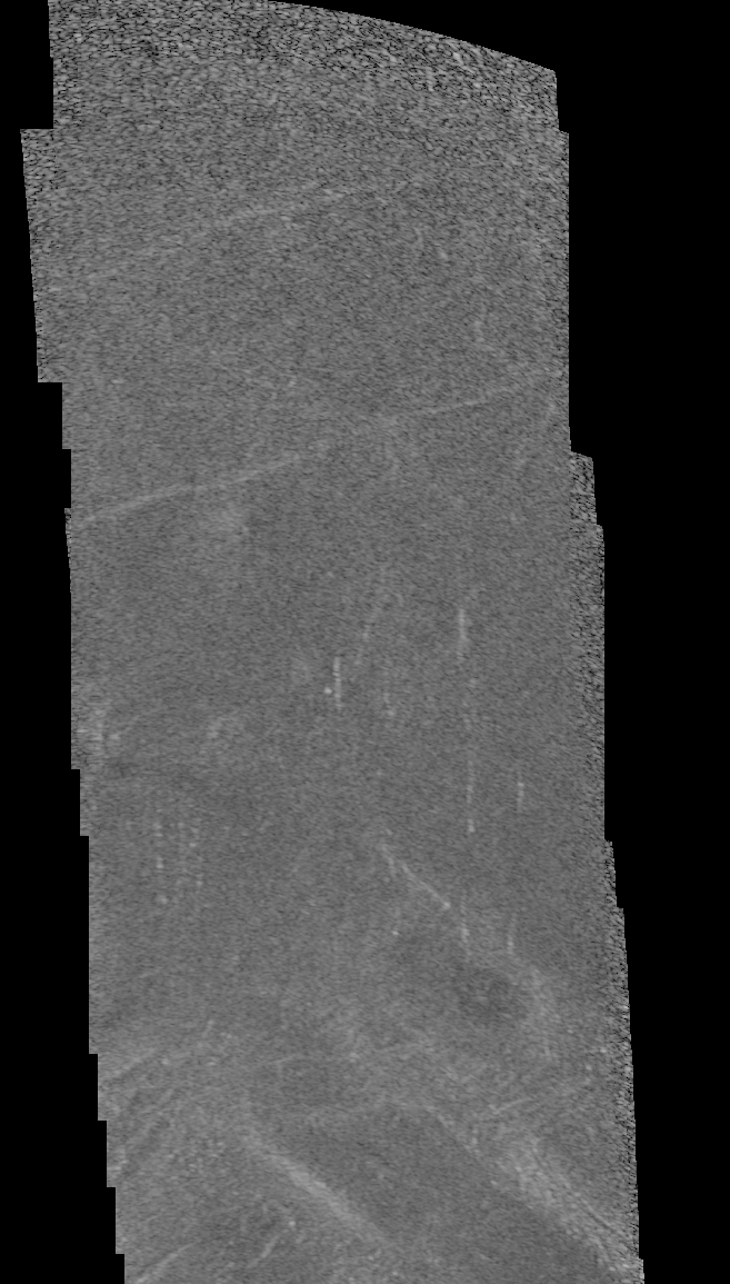
The magellan satellite orbited around Venus many times, taking pictures of the land that it passsed over using radiation, rather than visible light. These pictures were stored in an old format created by NASA that is not in use anymore. We can read the image data from these old files and write them as PNG files. It is possible to write them in other image formats, too. We can read in the binary data from a single orbit from the Magellan Mission and view it as greyscale images.
Since each of these files is the result of scanning Venus’ surface during one orbit, the image data contained corresponds to a very long and narrow strip; thus they are commonly called noodles. These images are very wide and very tall with a lot of black space because each noodle tends to “sweep” eastward on the planet toward the end. Below is a comparison between a strip that’s been reduced to 1% of its original size, alongside a small section at the top of the strip that is at full scale. The original size of the noddle is 3456 × 115528 (3456 pixels wide × 115528 pixels tall). The scaled-down version has dimensions 35 × 1155; you can see a small red rectangle on the scaled-down version on the left which indicates the region that the larger picture corresponds to. The rectangle is hard to see; that is how small of a piece the right side is when taken from the left side.
We’re currently researching leads on what to do next. There are existing tools for generating DEMs, but would not be directly compatible with the Magellan data. There’s also existing work on the Magellan data we could improve on. Finally, there are tools to create DEMs used for later planetary missions; perhaps we could make use of those by making them compatible with magellan data.
Things Coming Soon!